 Sometimes this job has its perks. To teach computers and their programs I must try them so I can speak with some knowledge about how they work. I opened the new Google Earth, like a kid on Christmas, to try it out and got decidedly lost. I had written a long time ago of this program and how it is a boon to those of a geographical mind but the new version is incredible and far surpasses what came before. One of the major complaints of the old one was the generic blue nothing that represented all of our oceans and lakes. With this new version they have made it just as fun to scour the oceans as had been to go through cities. This is just the beginning of this newly done program. Today I have been flying around Mars looking at all the landing sites and reading up on landers that worked and some that didn’t. Finally the dizzying constellations of the sky was intense. Think of every bit of the sky that we know of mapped and clickable. It was like having an observatory right at my fingertips. All of the map choices would be a help to almost any teacher no matter the subject. The obvious would be just to look at the maps but everywhere you go there are layers to put over your view. The moment you click a layer choice it will shows tons of small icons all over the land and sea. A click on any of them will reward you with videos, information from all sorts of official sources, quizzes, and much more. I took a virtual tour through the marinas trench from a swimming perspective and not just satellite views. The history teacher can benefit as well. There are historic layers like ancient Rome to go through. I really like the slider bar that shows me satellite images from different dates. They have images from around 1949 till now. One last thing that really made me happy was the amount of other organizations that are involved, Gigapan photos which are 3-d like high resolution photos which allow a lot of zooming into or a group like Seafood Watch that I pay a lot of attention to when I purchase seafood. If you have never used this application or had forgotten about it then it is time to return. It truly is a show stopping piece of software. Get your kids on this and have them record their own tours with narration. I love this idea of kids floating through maps and information and not even aware they are learning something. Give this a try.

Showing posts with label Maps. Show all posts
Showing posts with label Maps. Show all posts
Wednesday, February 18, 2009
“If my ship sails from sight, it doesn't mean my journey ends, it simply means the river bends.” John Enoch Powell
Sometimes this job has its perks. To teach computers and their programs I must try them so I can speak with some knowledge about how they work. I opened the new Google Earth, like a kid on Christmas, to try it out and got decidedly lost. I had written a long time ago of this program and how it is a boon to those of a geographical mind but the new version is incredible and far surpasses what came before. One of the major complaints of the old one was the generic blue nothing that represented all of our oceans and lakes. With this new version they have made it just as fun to scour the oceans as had been to go through cities. This is just the beginning of this newly done program. Today I have been flying around Mars looking at all the landing sites and reading up on landers that worked and some that didn’t. Finally the dizzying constellations of the sky was intense. Think of every bit of the sky that we know of mapped and clickable. It was like having an observatory right at my fingertips. All of the map choices would be a help to almost any teacher no matter the subject. The obvious would be just to look at the maps but everywhere you go there are layers to put over your view. The moment you click a layer choice it will shows tons of small icons all over the land and sea. A click on any of them will reward you with videos, information from all sorts of official sources, quizzes, and much more. I took a virtual tour through the marinas trench from a swimming perspective and not just satellite views. The history teacher can benefit as well. There are historic layers like ancient Rome to go through. I really like the slider bar that shows me satellite images from different dates. They have images from around 1949 till now. One last thing that really made me happy was the amount of other organizations that are involved, Gigapan photos which are 3-d like high resolution photos which allow a lot of zooming into or a group like Seafood Watch that I pay a lot of attention to when I purchase seafood. If you have never used this application or had forgotten about it then it is time to return. It truly is a show stopping piece of software. Get your kids on this and have them record their own tours with narration. I love this idea of kids floating through maps and information and not even aware they are learning something. Give this a try.


Wednesday, December 19, 2007
“A new gadget that lasts only five minutes is worth more than an immortal work that bores everyone.” Francis Picabia
 Think of the Secret Agent Man song before I start, OK got it, now onto the post.
 I have always loved gadgets from my radio watch to my spy telescope and that is why I had to write about a really clever new product. The Trackstick II is a product that is devoted to tracking your position. It is the same size as a common USB flash drive but it is actually a type of low energy GPS. Let’s say you’re on vacation and you walked everywhere and you're now home and want to retrace your steps. The GPS in this model keeps track of all of your movements. All you do is plug it into your computer and open Google Earth. It then takes you on a virtual tour of your vacation retracing every step. The maker’s site talks about exploring while hiking or camping and being able to map out where you were. Looking at some of the maps on their site shows the typical confused tourist. Lots of turn arounds and backups. I love that it is so small and will run for about a week on two AAA batteries. Now this is not a cheap gadget that you pick up at a convenience store. It is currently running upwards of $200. I am not sure if I am saying give it a try but the gadgetization of our society sure is fun to watch even if we don’t buy the items.
Thanks to the blog A beef Sandwich w/ Sweet Peppers for the song.
Wednesday, December 12, 2007
“I'm NOT lost, they just moved my street.” Piper Perabo
 A while back I posted about a new Google mapping Feature called Google street view. However at that time it was only available in select cities. Well providence has just become a select city. They have added another eight major cities to the record. So it time to start traveling the streets you know so well and find your cars, buildings, and possibly selves. It seems to me that the pictures were taken in late August or early September. The reason I believe this is the old police station that was being demolished next to us can still be partly seen. To use this it is easy. Just click in the box that has the street view and drag till you are pointed in the direction you want to head. They have arrows on the street to progress from shot to shot. Now if you want to move quickly just type in an address and move the little guy on the map to a blue line. This is both a useful and ridiculously fun feature. Below is a snapshot of the old entrance of the library. I recommend you give it a try.
 Monday, November 26, 2007
“Anyone who believes that the way to a man's heart is through his stomach flunked geography” Robert Byrne
 In a political science course in college we were challenged to label a map of every country on the globe. While this was difficult the professor told us of home many students that could not identify all the states on a
 Thursday, October 25, 2007
“Never speak loudly to one another unless the house is on fire”
 Yesterday I placed a call to my father in
 Friday, September 21, 2007
“One of my talking points will be the accident of geography.” Janis Joplin

Are you into Google maps? Then Map of Strange is for you. It is a simple site that shows collected strangeness of the Google map world. Find the Buddha Spaceship or, my personal favorite, crop circle advertising. Yes this is not helpful or productive but it Friday after all. Give it a try.
Wednesday, June 06, 2007
“Always live in the ugliest house on the street - then you don't have to look at it” David Hockney

Yesterday I was driving somewhere and I had a map from a site like Mapquest to tell me which way to go. It worked fine and I got where I needed to be but it took me a while to find the exact building because the numbers were gone. It would have been so useful to actually see the building, not from space, but from street level. Google has finally jumped on board to start mapping the USA from the street. However they are only doing certain major cities so far. They are not the first to do this by any means. Amazon's search site A9 tried this a year ago. Now Google's street maps are not bad, but a little taxing on the processor. I will say I found them fun for a while to walk down the streets virtually. It is not all good. What Google has done is capture a moment in time. I mean that if you were on the street at that moment you were photographed and our now part of the map, at least for a little while. People have been photographed doing all the things we do on a public street. Sometimes people are checking the contents of their noses or going into certain types of store. All this is pulled into the camera for good and bad. Click here to check see the video intro. Also to see a bit of the strangeness, someone has already put out a top 15 site of the odd sights. Give it a try.
Thursday, January 18, 2007
Money is better than poverty, if only for financial reasons. Woody Allen

Ok I have just paid for something with a twenty dollar bill and then I get a bunch of ones back. But wait one of the bills is marked with a special message. It is not a clandestine spy exchange but it is an invitation to the Where's George website. I have used this site for about six years. When you get a dollar bill with the marking go to the site and sign up. Then type in the serial number and condition that it is in. It will tell you where the previous person received the bill your holding. The thing I like most about this site is that I get to live vicariously through the bill's travels. As soon as you register the bill spend it and then you will get email updates telling you who found it, when, and where. Also there is a version for Canada as well called Where's Willy. Give it a try!
Friday, January 12, 2007
I don't want to go to Walley World!

Ok, you are driving around America looking for something to do but what? This is where Roadside America comes in. This is a great website for the traveler looking for the unusual. You can search state by state to find the bizarre and entertaining roadside stop. It lists everything from all the fiberglass giants, the large statues, to the Wild Bill Gator Fossil. I always check this before I head out on a road trip. Give it a try and check your own city, you might be surprised.
Thursday, December 21, 2006
I have an existential map; it has 'you are here' written all over it. Steven Wright

So you have become a map fanatic and you have searched all throughout planet Earth so it is time to go where no one, sort of, has gone before. Yes it is time to head to . . . the Moon. Google has mapped Mars and the Moon. Unfortunately the Moon is not as mapped. You can look at the elevations, the visible and infrared spectrum. Also there are stories from landings and occasionally you can find the exact landing point. Give it a try!
Friday, December 01, 2006
First star to the right and straight on till midnight
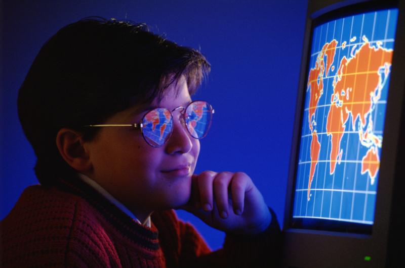
As a kid I traveled a lot. But when I got home I would always put a new thumbtack in my world map. Traveling around the world was the dream but the map was always my key to knowing where to plan for next. Unfortunately, every time I move I have to start my map all over again. This is where Travbuddy comes in hand. Just click on the locations you have been and hit create your travel map and there it is. I really like the percentage of the visited world that it displays. Also you can meet and discuss with fellow travelers and see other people's pics and get their take on hotels and the like. Start with the map and see where it leads. Give it a try!
Monday, November 20, 2006
Go early! Plan early!

So it is Monday and the week is cut short due to T-day so this post can not come soon enough. Friday, usually referred to as Black Friday, is a fast paced buyathon where people are knocked to the floor to get their hands on cheap merchandise. Some people map stores out and plan their attack, but like any good battle, the more info you have the better. The Black Friday Thanksgiving 2006 website is online and ready to help. It holds all the sales and prices for the day. You can even see the actual advertisements. For me I am sleeping in but if you are heading out go early, plan early. Give it a try!
Thursday, November 16, 2006
Down the rabbit’s hole for takeout
This is another post for the map junkies or kids planning an extended trip. When I was a kid, I like many, spent time with a shovel digging so that I could make it to
Friday, October 27, 2006
Where the Heck am I?
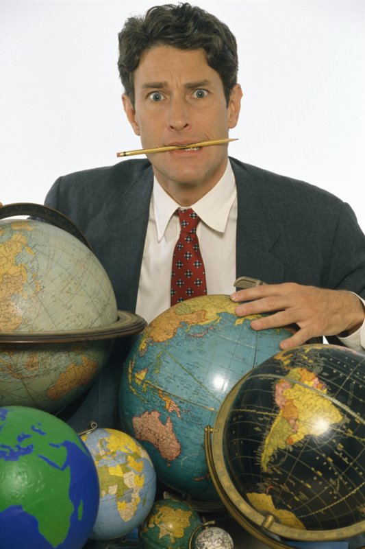
I have always liked maps and geography. For people like myself there are giant amounts of great sites that allow you to view geography and satellite images. Some of the sites are basic like Google maps. When you look at this one don’t forget to try the satellite and hybrid views at the top right hand corner. However for the best satellite close-ups I recommend try MSN’s Virtual Earth.The resolutionis very high.
Also there is a podcast on Google Earth to get you started.
Subscribe to:
Posts (Atom)